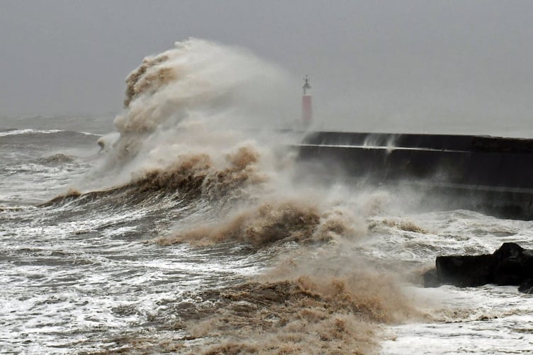
TEMPERATURES are expected to dip below freezing from tomorrow after a combination of heavy rain, strong winds and snow have brought a miserable start to 2025.
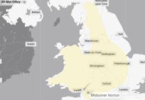
A Met Office weather warning for wind will be active across Somerset and the wider region until 3pm today (New Year’s Day) while disruption is also expected to other parts of the UK.
The most severe weather is currently expected in Scotland, which is gripped by a warning for snow and ice.
Andy Page, chief meteorologist for the Met Office, said: “Following a complex weather pattern featuring a series of low-pressure systems bringing strong winds, rain and even some snow, the forecast for the next few days has a much colder outlook.”
Uncertainty from New Year’s Day
Across much of England and Wales, New Year's Day will start wet and windy. While Northern Ireland and Scotland will experience colder conditions, with a mix of sunshine and wintry showers.
Met Office deputy chief meteorologist, Rebekah Hicks, said: “A band of persistent and at times heavy rain will linger across Wales and northwest England through Tuesday night and Wednesday morning, before clearing southeast during Wednesday afternoon. This rain will be accompanied by strong and gusty winds.”
Turning cold from Thursday
By Thursday, it is likely that the whole of the UK will experience a change to colder conditions, with this persisting into the weekend. Wintry showers are expected to affect the far north and east at times, but away from these, sunshine will be much more widespread than in recent days.
Overnight temperatures will widely fall below freezing, perhaps reaching minus double digits in areas of Scotland already covered in snow.
Snow and ice are likely to lead to some travel disruption and difficult driving conditions on New Year’s Day and overnight until January 2 in parts of northern Scotland, and a Yellow Warning has been issued.


Comments
This article has no comments yet. Be the first to leave a comment.