Well done to everyone who guessed last week’s Mystery Photograph correctly. It was a slightly more difficult one than normal and we received a mixture of answers.
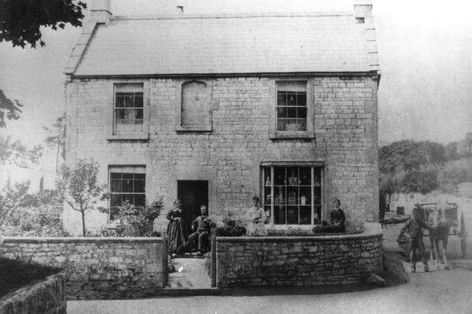
The photo was in fact taken at Kingswell Cross Road, High Littleton.

Eric Brain said: "I think this week’s mystery picture in the Journal is looking from Hayeswood Road across the A39 at Kingwell Crossroads (sometimes known as Crossways) between Farmborough and High Littleton parishes. The junction has much changed over the past century, and only this cottage (formerly a shop) and the ones behind it, including the former Royal Oak pub, remain."
So a massive congratulations to him as he was the only person to send a correct answer to the Journal.
Interestingly, many readers thought the image may be of Stoke St. Michael; perhaps the areas share similar history or similar architecture.
Coal mines were established in the area by 1633 because on the coal seams ran obliquely to the surface. The first deep mine in the parish was Mearns Coalworks which began in 1783. During the 1790s, William Smith worked extensively in the area as a mine surveyor and as chief surveyor for the Somerset Coal Canal; and it was during this time that he formulated his ideas of rock stratification. He describes the area as the 'birthplace of geology'.
Thank you to Radstock Museum for our current supply of Mystery Photographs. Do you know where this weeks’ picture was taken? Submit your answers by 4pm on Friday by calling 01761 258030 or by emailing [email protected].


